Fugro can support the implementation of CCUS projects in the UK by providing critical geo-data and advice for safe capture, transportation, and storage of CO2.
Although a crucial aspect of the journey to net zero, it’s fair to say aspects of CCUS (Carbon Capture, Utilisation, and Storage) have been slow to gain momentum.
As such, CCUS projects encounter significant uncertainties and risks. Addressing them in a meaningful way can help developers make informed decisions that will allow the sector to embrace the full potential of CCUS as a key component in achieving net zero.
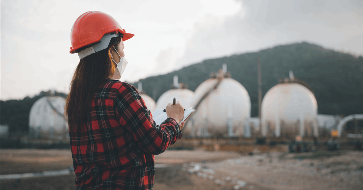
We spoke to Molly Thompson, business development manager within Fugro’s commercial team, to find out the essential role Fugro is playing in enabling CCUS projects to get to the next stage through ground investigation.
“There are some uncertainties with CCUS projects in the UK and that’s why quite a lot of them have stalled,” explained Molly, “there’s a significant data gap”.
“Additionally, many CCUS projects involve the nearshore zone (from the coast to about 40 metres water depth). But for developers, anything in that shallow transition area can pose the greatest risk. Understandably, they may be cautious about new developments or construction in this changeable, tidal zone.”
Inform investment decisions & cost-optimisation
This is where utilising existing and new geotechnical data can be the key to unlocking informed decision-making.
Molly said: “What Fugro can offer is our technical capabilities gained over six decades from working in existing markets like renewable energy, and all the geotechnical and survey techniques that we would use for any offshore or onshore ground investigation.
“All of this is highly applicable to CCUS. Our geo-data can reduce uncertainty at an early stage of development – helping clients pick their sites and inform final investment decisions.”
Molly continued: “Once we’ve reviewed the existing data, we can then support the scoping of the next stage. We can recommend targeted ground investigation, engineering techniques and design, whether it be a cable, a pipeline, or any associated infrastructure.
“We can also advise on areas to focus on for cost-optimisation. CCUS projects can be costly, and if developers are over engineering their assets at an early stage, it can mean their budget might not reach to develop the next stage. We can help mitigate that risk.”
Even ‘low impact’ site screening can reduce uncertainly
During the initial stages of planning and development when funding and investment isn’t yet secured, Molly advises that an initial ‘low impact’ site screening can give the reassurance needed to set in motion subsequent actions.
She told us: “Most developers don’t have budget when they haven’t had their project confirmed, so undertaking in-depth investigations can be a daunting financial prospect.
“However, looking through the lens of ground investigation, we can recommend techniques like 2D and 3D geophysics that we use onshore and offshore – it’s a great low impact way to collect general geo-data by way of site screening.
“We can then combine that with our geo-consultancy expertise and our data-centric solutions for ground modelling to get a good broad picture of what is beneath the ground so that uncertainty is reduced straight away. Then you can pinpoint areas where you want higher resolution.”
Molly added: “That’s one of the key solutions that we offer that is perhaps more accessible for clients at the initial stages of a project compared to undertaking a large-scale geotechnical campaign. This type of survey can be completed by boat or drone with a span of a couple of days, and from that you can get a really good impression of where to focus efforts and where to avoid”