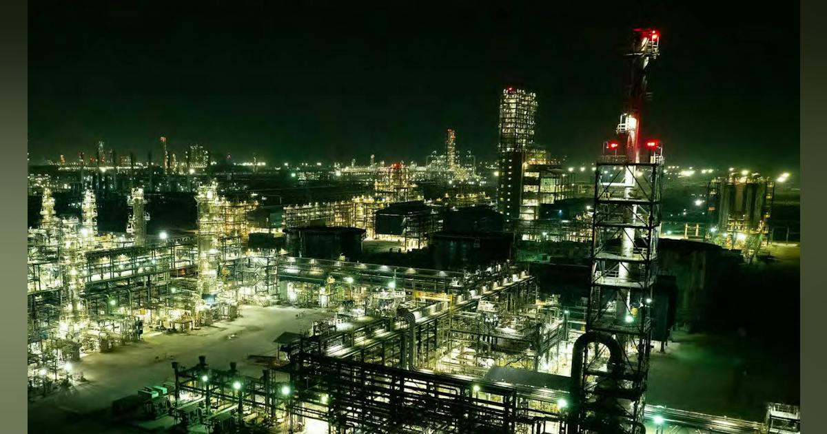
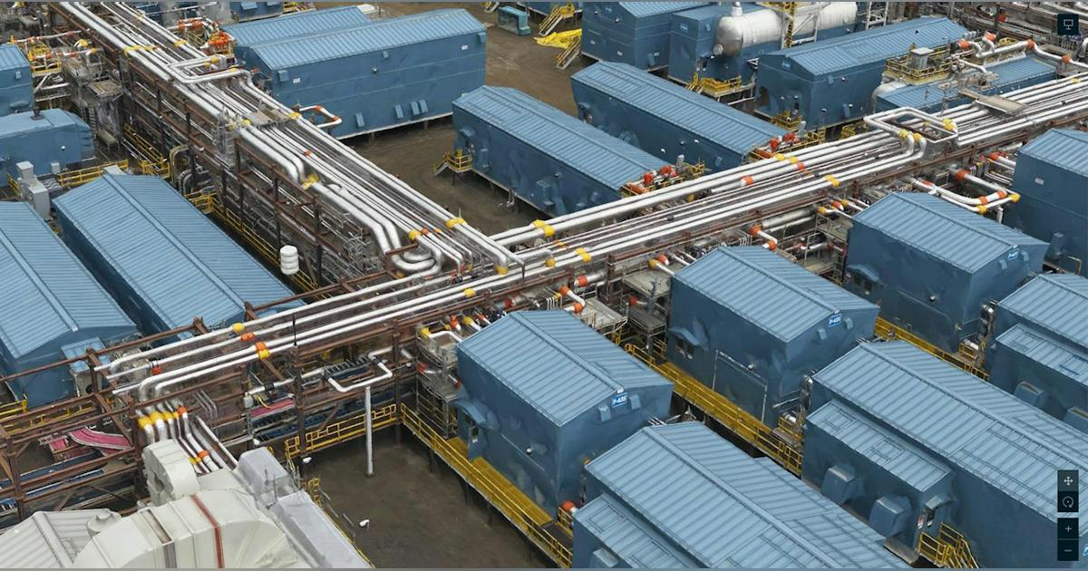
Refining, midstream, and production operators face increasing pressure to reduce downtime, improve safety, and make faster decisions with increasingly complex asset data. One leading international energy company partnered with NV5 Geospatial to deploy high-fidelity digital twins that unified engineering, inspection, and operational data across multiple facilities. The result: faster planning and approvals, safer operations, fewer travel requirements, and measurable reductions in outage windows. The Challenge The company’s refineries and offshore/onshore facilities are high-consequence environments where even brief shutdowns can cost millions per day. Engineering drawings, P&IDs, laser scans, SCADA/IoT feeds, and maintenance systems existed in separate silos making it difficult for staff to access a shared, current view of assets or to plan complex maintenance activities safely and efficiently. Additionally, the organization sought to reduce field exposure for subject-matter experts (SMEs) by enabling remote collaboration and to improve predictability in outage planning and maintenance “switchovers,” where downtime forecasting directly affects operational revenue. The Solution NV5 Digital Twin = Geospatial system of record + automation. NV5 delivered a scalable, field-to-cloud workflow that fused reality capture, engineering data, and live system integration into a unified, photorealistic 3D environment. Reality Capture Rotary-wing acquisition using NV5’s custom multi-sensor pod with RIEGL VUX-240 LiDAR (~300 ppsm) and 150MP nadir + oblique imagery (1″ GSD), flown with 80% side/forward lap for high-fidelity photomesh creation. NV5 coordinated with local air-traffic control and operated from a nearby hangar to minimize mobilization time. IS-BAO Stage 3 aviation safety certification and on-staff licensed surveyors ensured quality and compliance. This level of detail enables operators to virtually inspect assets, plan maintenance activities, and validate engineering decisions without repeated site visits. Processing and Integration SBET-calibrated LiDAR and imagery were processed into advanced classified point clouds, DEM/DSM surfaces, and textured 3D meshes (delivered OBJ/Esri Scene Layer, and Cesium 3D Tiles 1.1 formats). Engineering