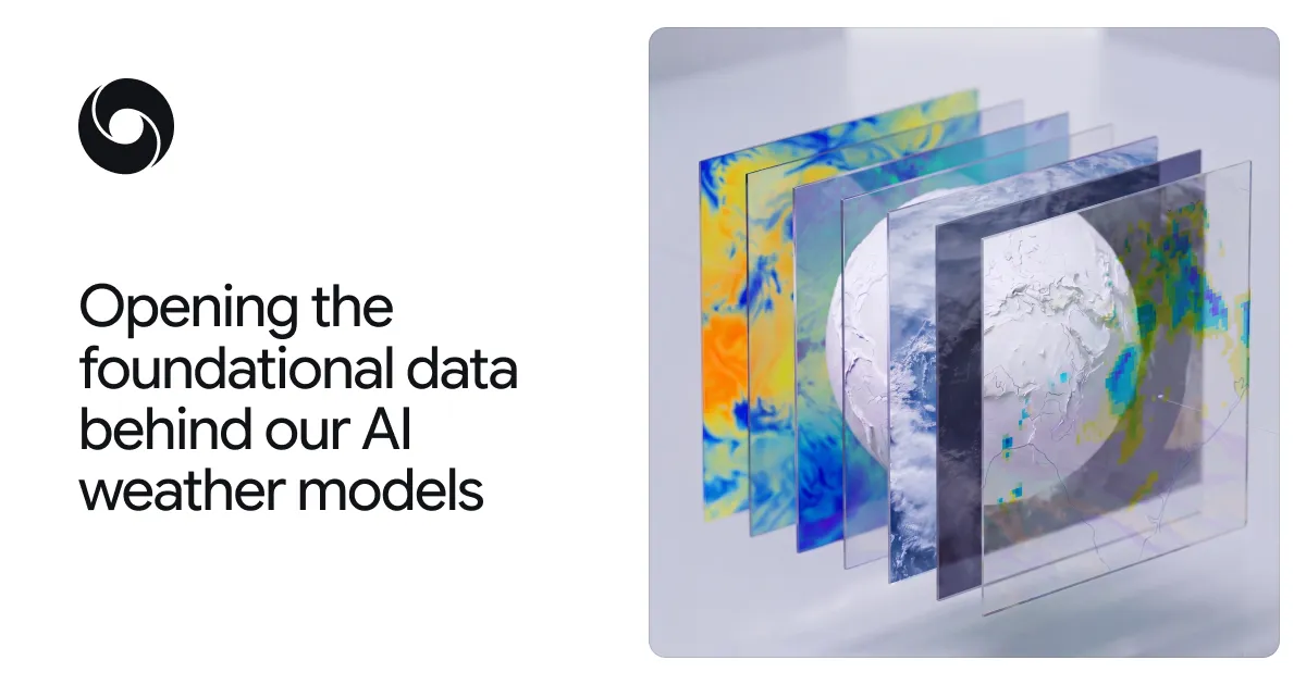
We are releasing PARDIG and SatWeave to help researchers and developers build new weather, hydrology, and climate applications.
Understanding and predicting the planet’s weather and water cycle starts with how well we can observe the Earth right now. Satellites and ground instruments monitor the planet continuously and in great detail. But converting these raw measurements into a coherent global picture and making it available quickly, is a major scientific and engineering challenge.
Today, we are releasing two foundational datasets, SatWeave and PARDIG, to support the global community in building weather, hydrology, and climate applications. Both datasets are key to the advances in our recently released WeatherNext 3 model. SatWeave is a global mosaic of geostationary satellite imagery that provides the model a live view of developing clouds and storms. PARDIG is an AI-based global precipitation dataset that was used to train the model’s precipitation forecasts. We are making historical archives and live feeds of both datasets available, so researchers and developers can use them in their modeling and downstream applications.
SatWeave: A unified view of Earth from space
SatWeave combines imagery from five satellites, which cover different parts of the globe: GOES-East and GOES-West, Meteosat 0 and Meteosat Indian Ocean, and Himawari. Because each uses different map projections, file formats, sensors, and scan schedules (ranging from 10 to 30 minutes), it is difficult to form a coherent global map. Most existing global composites drop incompatible aspects, offering only four or fewer channels, or updating every few hours.